
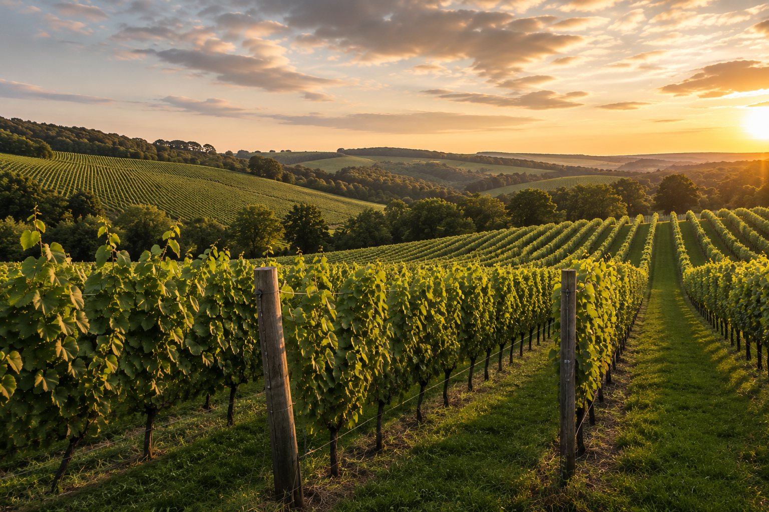
Vineyard
Precision drone technology for better-informed vineyard management.
High-resolution mapping, multispectral imaging and seasonal monitoring for UK vineyards — a clearer view of variation across your blocks and rows, presented as information you can act on with your own agronomic judgement.
- Application platform
- FP700 / DJI Mavic Multispectral
- Compliant operations
- CAA
What we do
Precision management for every row.
- Vineyard and block mapping at centimetre scale, with measured areas
- Vine-row assessment across whole blocks in one flight
- Boundary, track and infrastructure mapping for planning and records
- Terrain and elevation models supporting drainage assessment
- Multispectral vigour and canopy variation mapping by row and block
- Repeat surveys flown to the same plan through the growing season
- Findings supplied as georeferenced maps and imagery you keep
What's the benefit
- Earlier sight of developing issues, while there is still time to act
- Crop inspections targeted at the rows that have actually changed
- A clearer understanding of variation within each vineyard block
- Consistent, dated records for season-to-season comparison
- Fewer unnecessary passes and walks across the vineyard
What you gain
Deliverables agreed before we fly.
- 01
High-resolution orthomosaic of the vineyard with blocks and areas measured
- 02
Vine-row and block map showing boundaries, tracks and infrastructure
- 03
Terrain and elevation model for slope and drainage assessment
- 04
Multispectral vigour map highlighting variation by row and block
- 05
Shortlist of areas of interest for investigation on the ground
- 06
Comparison against the previous survey where monitoring is repeated
- 07
Flight record with date, area covered, sensor package and conditions
Multispectral & aerial imaging
A different perspective on how the vineyard is performing.
Drone surveys help you identify patterns across individual rows or entire blocks, so areas of interest can be investigated on the ground with your own agronomic knowledge leading the decision.
Multispectral
Bands the eye cannot see
Multispectral capture records reflectance beyond visible light, so differences in canopy condition register as measurable variation across rows and panels rather than as an impression formed while walking.
High-resolution RGB
Detail at the individual row
Centimetre-scale RGB imagery keeps posts, wires, gaps, missing vines and headland detail legible, so an area flagged in the vigour data can be inspected visually before anyone walks it.
Interpretation
Data turned into information
The objective is not to collect imagery. Layers are processed, aligned to your block boundaries and reduced to a short list of areas worth investigating on the ground.
A vineyard-level view
The whole vineyard, and then the individual row.
The same block, captured on one flight: the true-colour orthomosaic on the left and the multispectral NDVI vigour layer on the right. Example survey output.
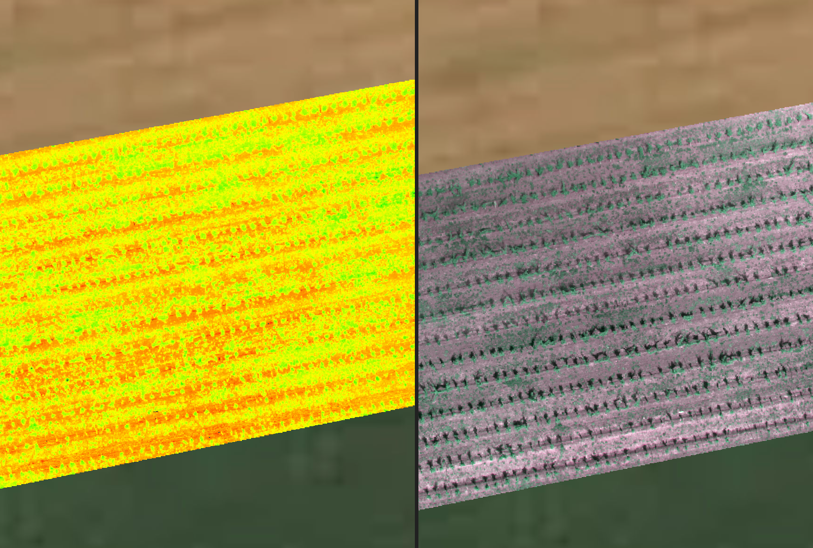
Whole-vineyard overview
Every block flown to one plan and processed into a single georeferenced map, so blocks are compared on the same basis rather than by memory.
Row-level detail
Resolution is fine enough to read variation along a row and to see gaps, missing vines and headland effects in position.
Areas of interest, not verdicts
Patterns are highlighted for further investigation. Cause is confirmed on the ground, by you or your consultant.
Targeted management
Time and resource spent where the vineyard needs it.
Accurate aerial information narrows the vineyard down to the parts that have changed. Instead of walking everything at the same intensity, inspections, labour and inputs can be concentrated on the blocks and rows the data points to, with the rest confirmed on a lighter pass.
Enquire about vineyard services- Earlier identification of developing issues
- More targeted crop inspections
- Better understanding of variation within vineyard blocks
- Improved records and seasonal comparisons
- More informed management decisions
- Reduced unnecessary field operations
Next step
See your vineyard from a different perspective.
Whether you need a detailed vineyard survey, a crop-health assessment or regular monitoring throughout the growing season, Field Ingenuity can build a drone survey programme around your vineyard and management objectives.
Talk to Field Ingenuity about your vineyardApplications
Products we apply in vineyard.
Book a free Field Ingenuity assessment
Tell us about the vineyard, the block, and the window.