About
Drone technology, aimed at the problems that actually cost money.
Field Ingenuity was founded on the belief that drone technology can transform how industries gather information and solve operational challenges. Aerial platforms reach places machinery cannot, on days machinery cannot travel, and they see things the human eye cannot from ground level.
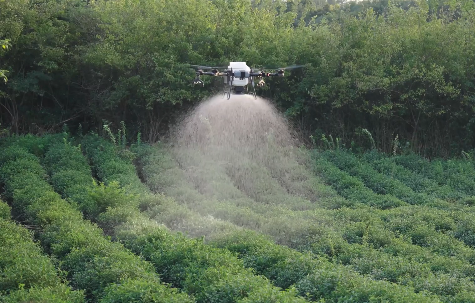
We combine precision aerial application with multispectral survey and AI-assisted analysis. That means a grower does not just get a spray pass or a set of pretty images — they get a mapped field, an understanding of where it varies, and a plan that puts the product where the crop needs it.
We work across agriculture, forestry, energy infrastructure and protected horticulture, nationally across the UK, with a safety-led approach and full CAA-compliant operations behind every flight.
How we work
Four principles we do not trade away.
Safety first, always
Every job begins with a plan, an airspace check and a risk assessment. Full CAA-compliant operations and insurance are the baseline, not a selling point.
Data before product
We would rather map a field and find out it does not need a blanket pass than sell a pass that was never justified. The analysis leads the application.
Built around your agronomy
We do not replace your agronomist. We give them a clearer picture and the means to act on it at zone level, then fly the plan they set.
Practical, not theoretical
Everything we offer has to work in a real UK season — wet ground, tight windows, growth stages that will not wait. If it does not, we say so.
FLEET, EQUIPMENT & SOFTWARE
The kit that does the work, and the software that plans it.
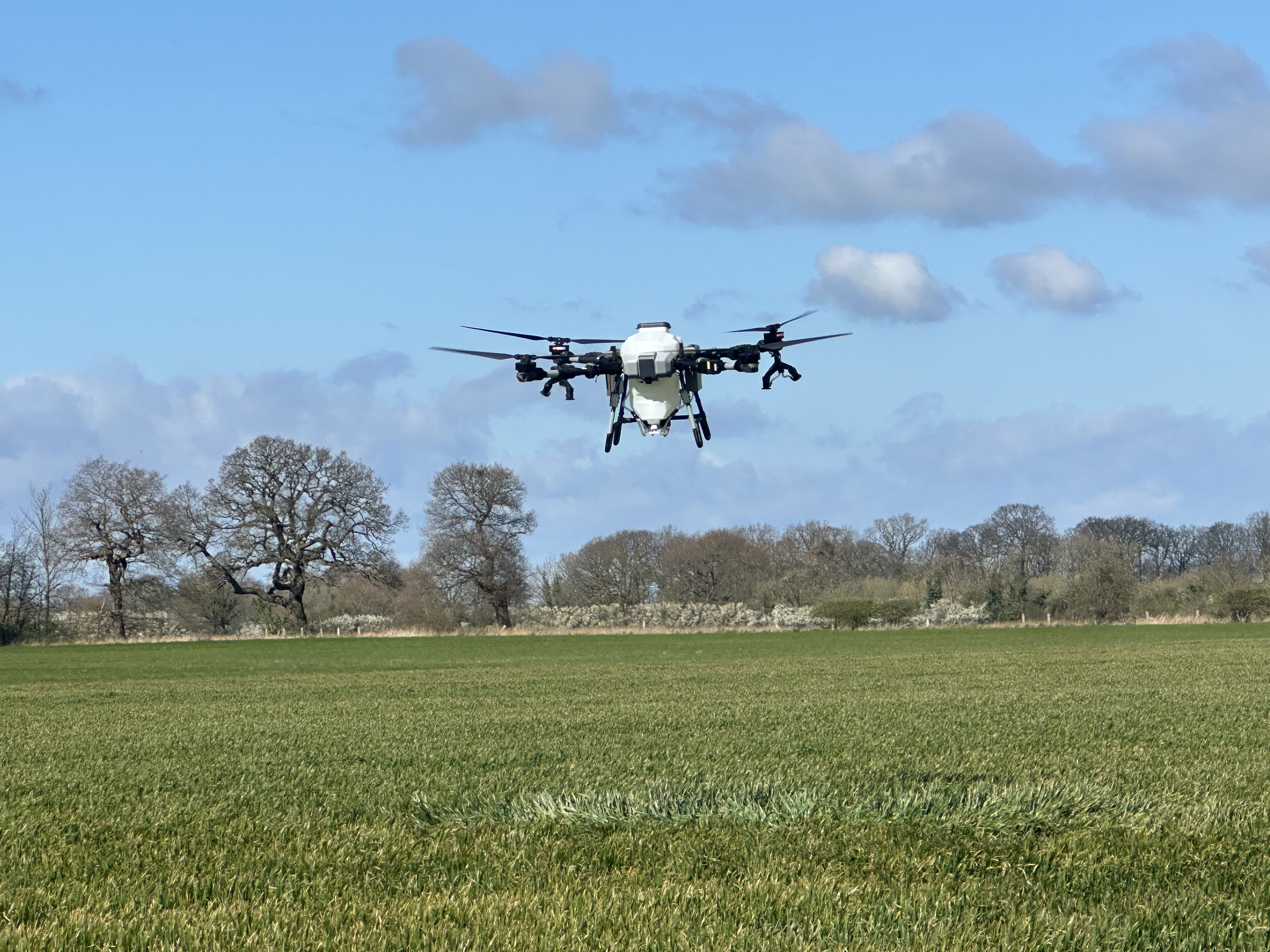
FP700 application platform
Our workhorse for spraying, coating and broadcast seeding — high payload, precise nozzle control and centimetre-level flight lines.
- Spreading System Specs: max. payload 80L/70kg ; max. rate 220kg/ min; max. width 10m
- Spraying System Specs: max. payload 60 L; max. flow rate 40L/min; droplet size from 30-500 microns
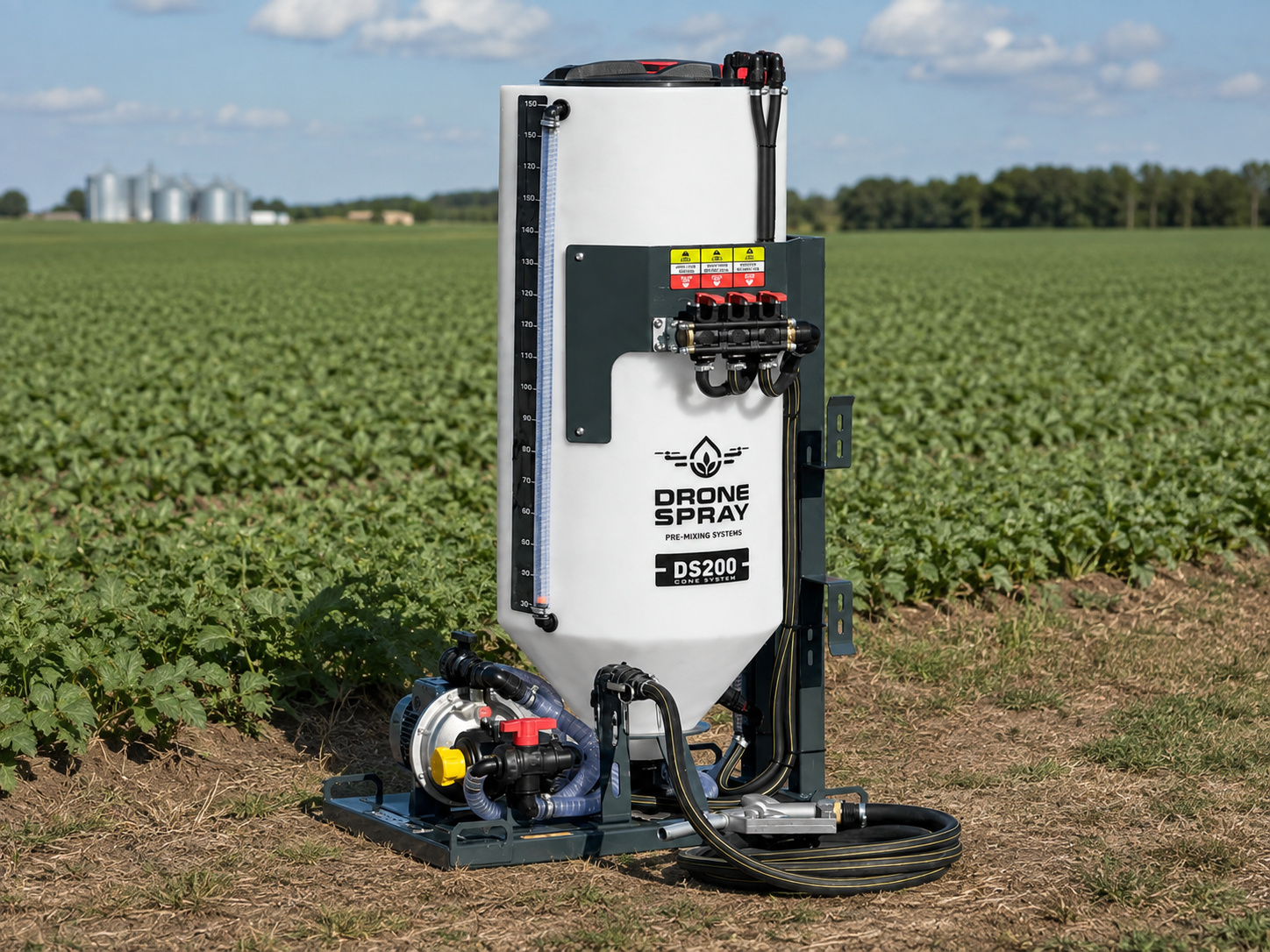
DS200 Mixing System
Purpose-built mixing and transfer system used to prepare spray solutions consistently and efficiently before loading the application drone — supporting accurate product mixing, efficient turnaround between flights and a controlled field-side workflow.
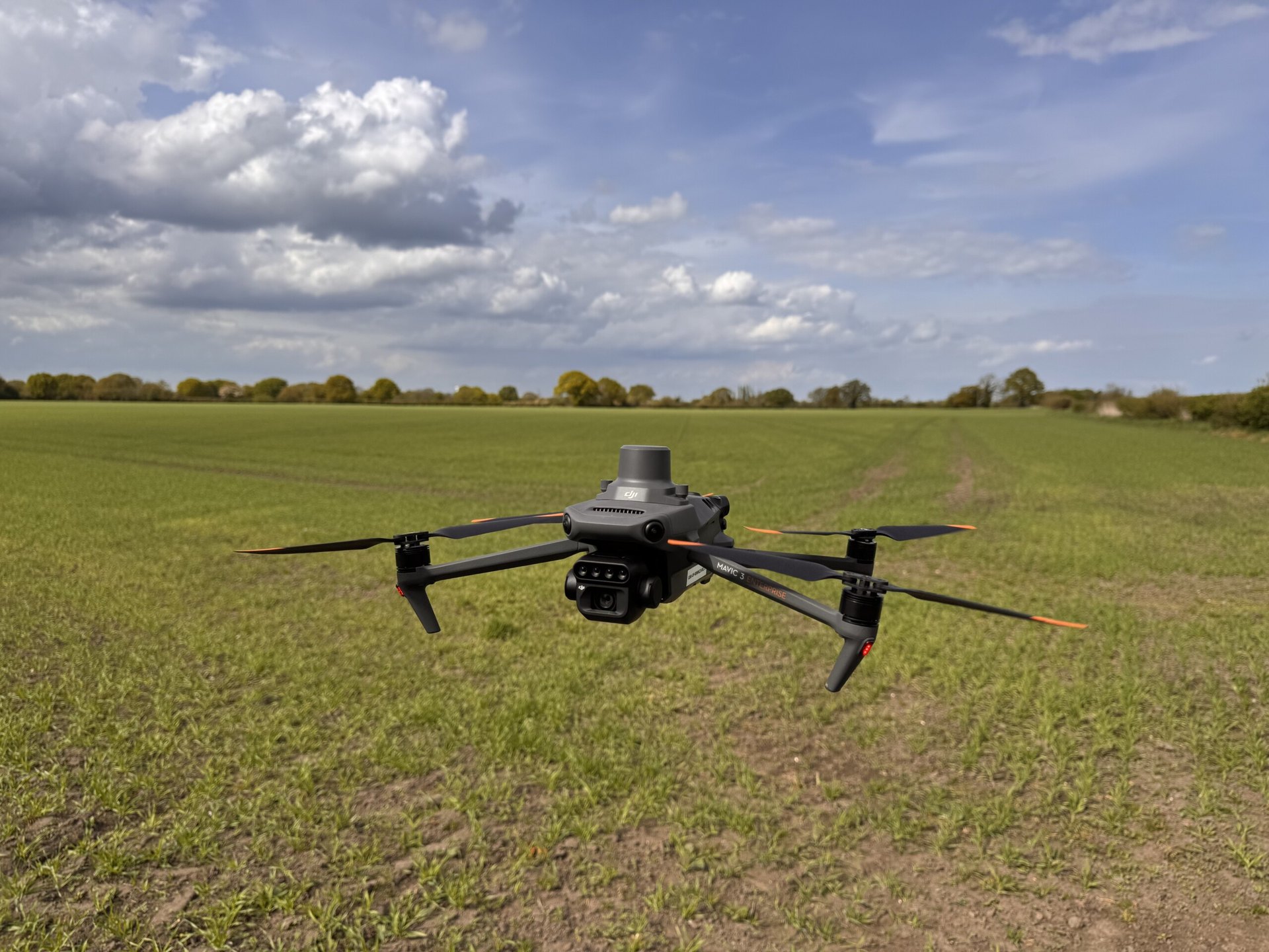
DJI Mavic 3M
Seeing the Unseen! Our multispectral survey drone captures high-resolution RGB, Green, Red, Red Edge and Near-Infrared imagery, revealing crop variation that isn't always visible to the eye. NDVI highlights differences in crop vigour and potential stress; GNDVI provides insight into photosynthetic activity and crop nitrogen and water status; while NDRE helps assess chlorophyll variation in more developed, denser canopies. Together, these datasets reveal spatial variation across the field, guide targeted ground-truthing and support the creation of management zones and variable-rate prescription maps.
PIX4Dfields Software
Turning aerial imagery into practical field decisions. PIX4Dfields transforms drone and satellite imagery into detailed crop maps, field reports and prescription data that growers and agronomists can use to make more targeted decisions.
- Assess crop health and variability with NDVI and other vegetation index maps
- Identify weeds, stress and field anomalies; measure boundaries and areas
- Build management zones and export prescription maps in industry-standard formats for use with agricultural machinery and spray drones
Compliance
CAA-authorised operations with documented flight planning, airspace checks and operational risk assessment for every site.
Insurance
Full operational insurance in place, with evidence available for landowners, agents and site managers on request.
Product stewardship
Applications flown to label and to the plan set with your agronomist, with a record of what went where.
Want the detail on a specific service? See what we fly.
Book a free Field Ingenuity assessment
Farm, woodland, solar site, nursery or sports turf — tell us the ground, the objective and the window you need to hit. We will tell you honestly whether drone application, mapping or both are the right answer, and what it would deliver.