
Forestry
Whole-block visibility without the ground risks.
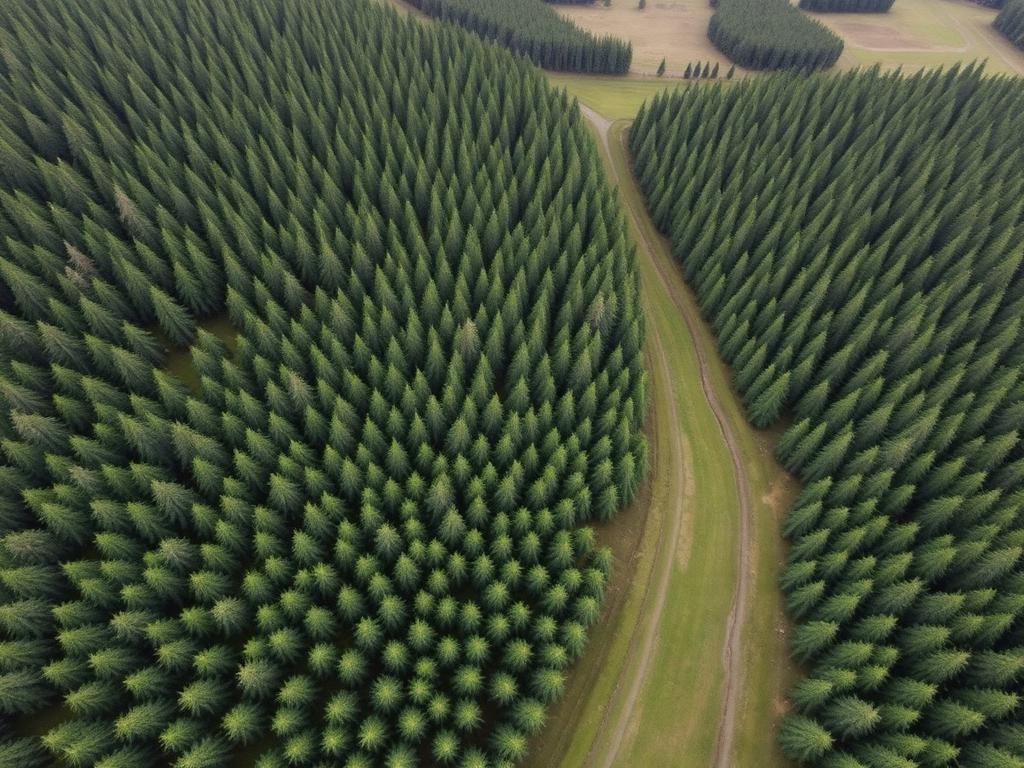
Measured aerial survey for plantations, farm woodland and amenity trees — canopy condition, stocking, windblow and restock planning, flown to the same boundary every season so change is comparable.
- Application platform
- FP700 / DJI Mavic Multispectral
- Compliant operations
- CAA
What we do
Measure, monitor and manage woodland from above.
- Centimetre-scale orthomosaic and measured boundary of the block
- Multispectral canopy vigour mapping for stress, dieback and disease hotspots
- Stocking density, gap and failed-patch assessment reported in hectares
- Windblow damage assessment after storm events, without entering unstable stands
- Restock, species-block and no-plant zone mapping around watercourses and tracks
- Access track, ride and extraction route condition review
- Repeat surveys flown to the same plan for year-on-year change detection
What's the benefit
- Cover compartments a ground crew cannot reach economically or safely
- Catch windblow, dieback and drought stress while the timber still holds value
- Areas measured, not estimated — better priced thinning, felling and haulage
- Dated evidence for grant claims, felling licences and restock obligations
- One flight replaces days of walked survey across a large estate
What you gain
Deliverables agreed before we fly.
- 01
High-resolution orthomosaic of the block with measured boundary in hectares
- 02
Canopy vigour (NDVI) map flagging stress, dieback and disease hotspots
- 03
Windblow, gap and stocking assessment with each area totalled in hectares
- 04
Restock plan showing planting areas, species blocks and no-plant zones
- 05
Access-track and extraction route map for harvesting and haulage planning
- 06
Annotated PDF survey report with dated, geo-referenced imagery
- 07
Baseline dataset retained so the next survey shows measured change
Applications
Products we apply in forestry.
Book a free Field Ingenuity assessment
Tell us about the woodland, the work, and the window.