
Operating nationally across the UK
Precision from Above.Precision drone application and aerial intelligence — turning field insight into targeted action.
We operate across farms, woodland, solar sites, glasshouses and sports turf — spraying, seeding, cleaning, surveying and mapping by drone when the ground is too wet, too fragile or too hard to reach.
Sectors we serve
Agriculture
Spray, seed and variable-rate mapping for arable and mixed farms.
Forestry
Canopy health, windblow and boundary surveys for woodland and estates.
Energy
Solar panel cleaning and array condition surveys without roof access.
Horticulture
Glasshouse coatings and crop monitoring with no working at height.
Sports Turf
Turf nutrition, overseeding and health mapping for golf and sports grounds.
Vineyard
Vineyard mapping, vine-row surveys and multispectral crop intelligence.
- Application platform
- FP700 / DJI Mavic Multispectral
- Compliant operations
- CAA
The Field Ingenuity loop
We sell you impact through a closed loop.
Fly
Drone and satellite capture over your field, woodland or site — flown to a plan, within CAA authorisation.
Map
Orthomosaic and multispectral layers processed into high-resolution, georeferenced maps of the whole area.
Analyse
AI-assisted analysis turns multispectral and land-use data into management zones and a clear picture of variation.
Apply
Your agronomist sets a rate per zone; we fly the variable rate application exactly where it is needed.
Services at a glance
Six sectors. What you gain, and exactly what you receive.
Every job is quoted per hectare or per site, with the deliverables agreed before we fly.
Agriculture
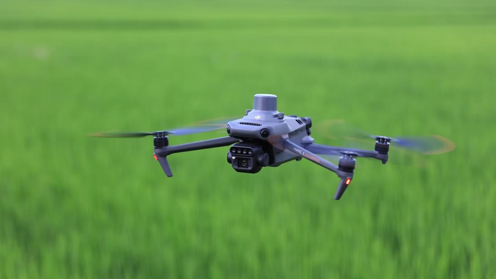
- Apply when the ground won't carry a sprayer — no waiting for dry weather
- No soil compaction, ruts or tramline damage from heavy machinery
- Targeted rates per management zone, not broad field averages
- Timely passes at the growth stage that actually protects yield
- Whole-field coverage with dated, geo-referenced application records
You receive
- Product applied to your own specification and timing
- Broadcast seeding into standing crop: cover, companion, grass or stewardship mixes
- High-resolution orthomosaic of each field in GeoTIFF format
- NDVI crop vigour map showing variation across the field
- 5-zone management map with area per zone and a VRA rate map
- As-applied record with date, area, rate, product and flight log
Forestry
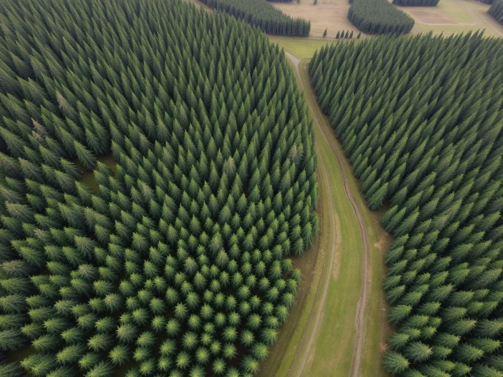
- Cover compartments a ground crew cannot reach economically or safely
- Catch windblow, dieback and drought stress while the timber still holds value
- Areas measured, not estimated — better priced thinning, felling and haulage
- Dated evidence for grant claims, felling licences and restock obligations
- One flight replaces days of walked survey across a large estate
You receive
- High-resolution orthomosaic of the block with measured boundary in hectares
- Canopy vigour (NDVI) map flagging stress, dieback and disease hotspots
- Windblow, gap and stocking assessment with each area totalled in hectares
- Restock plan showing planting areas, species blocks and no-plant zones
- Access-track and extraction route map for harvesting and haulage planning
- Annotated PDF survey report with dated, geo-referenced imagery
- Baseline dataset retained so the next survey shows measured change
Energy
- Recover generation lost to dust, pollen, bird fouling and traffic film
- Nobody working on, under or between live modules
- Defects arrive with a location, so O&M visits are targeted not exploratory
- Cutting and cleaning rounds scheduled on evidence rather than habit
- Whole sites covered in hours instead of days of walked inspection
You receive
- Drone-applied Vitapanel Clean ECO wash across the array, with coverage record
- Array condition survey with soiling, damage and shading pinned by row and table
- Vegetation encroachment map against module footprints and site boundary
- Prioritised cut plan showing what is shading now and what will next
- Site orthomosaic for asset records, O&M planning and lender reporting
- Before-and-after imagery evidencing the condition change
- Method statement, risk assessment and CAA authorisation on file
Horticulture
- No roof access, no scaffold and no working-at-height exposure
- Even, controlled coverage across large glass areas in a single visit
- Coating and removal handled by one platform and one contractor
- Irrigation, drainage and nutrition problems spotted from vigour patterns
- Minimal disruption to picking, grading and the growing programme
You receive
- Lumiforte shading or diffusion coating applied to your specification
- Coating removal at the end of the season, recorded on completion
- Roof coverage survey imagery from before and after each application
- Glass condition report locating broken, slipped and missing panes
- Nursery or protected crop vigour map by block, bench or bed where required
- Application record with product, rate, area and date for every pass
- Dated imagery retained for insurance and maintenance planning
Sports Turf
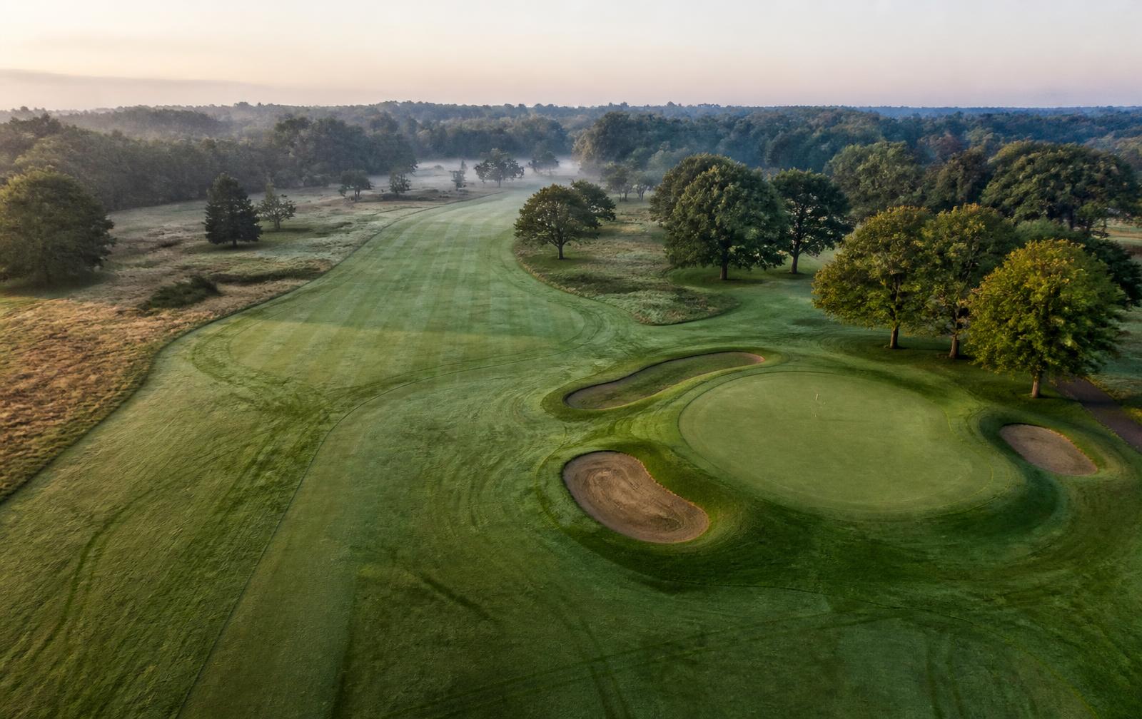
- No wheel marks, ruts or compaction on playing surfaces
- Work flown around play, fixtures and limited grounds-staff hours
- Zone-based rates from real vigour data instead of blanket flat rates
- Problems caught while they are still agronomic, not visible to members
- Dated evidence of surface improvement for committees, clients and budgets
You receive
- Foliar nutrition, biostimulant or wetting agent pass flown to your programme
- Broadcast overseeding of the areas and rates you specify
- High-resolution orthomosaic of the course or complex with measured areas
- Turf vigour (NDVI) map by green, tee, fairway or pitch
- Stress and wear report highlighting dry patch, shade and traffic damage
- Drainage findings map showing wet flushes and suspected failing lines
- As-applied record with date, area, rate, product and flight log
Vineyard
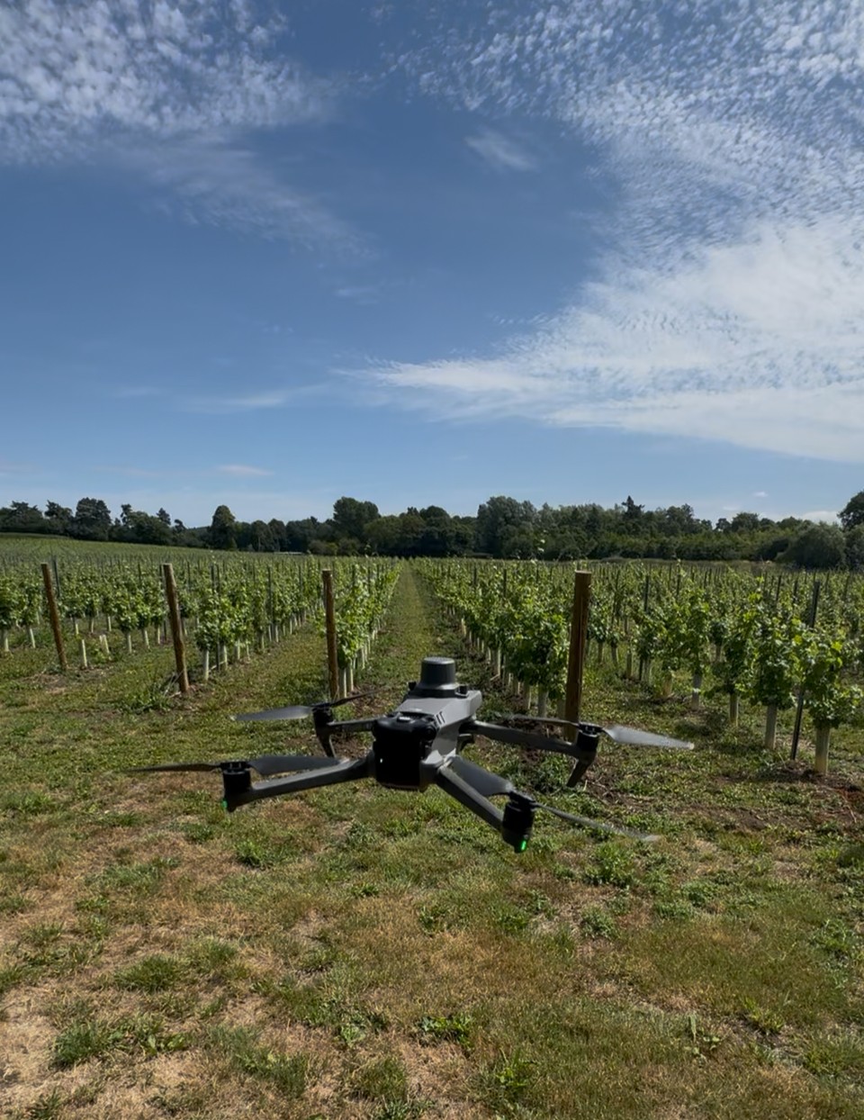
- Earlier sight of developing issues, while there is still time to act
- Crop inspections targeted at the rows that have actually changed
- A clearer understanding of variation within each vineyard block
- Consistent, dated records for season-to-season comparison
- Fewer unnecessary passes and walks across the vineyard
You receive
- High-resolution orthomosaic of the vineyard with blocks and areas measured
- Vine-row and block map showing boundaries, tracks and infrastructure
- Terrain and elevation model for slope and drainage assessment
- Multispectral vigour map highlighting variation by row and block
- Shortlist of areas of interest for investigation on the ground
- Comparison against the previous survey where monitoring is repeated
- Flight record with date, area covered, sensor package and conditions
Example application: crop intelligence
One field. Three layers. Five rates.
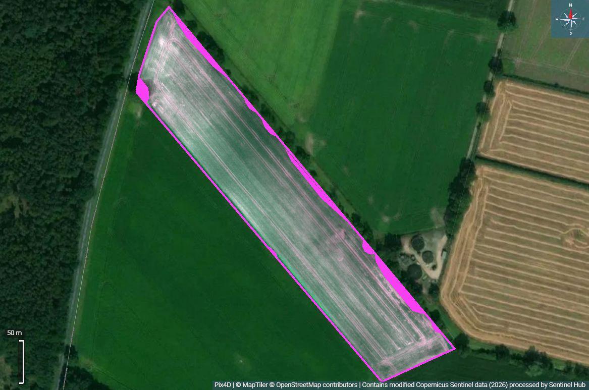
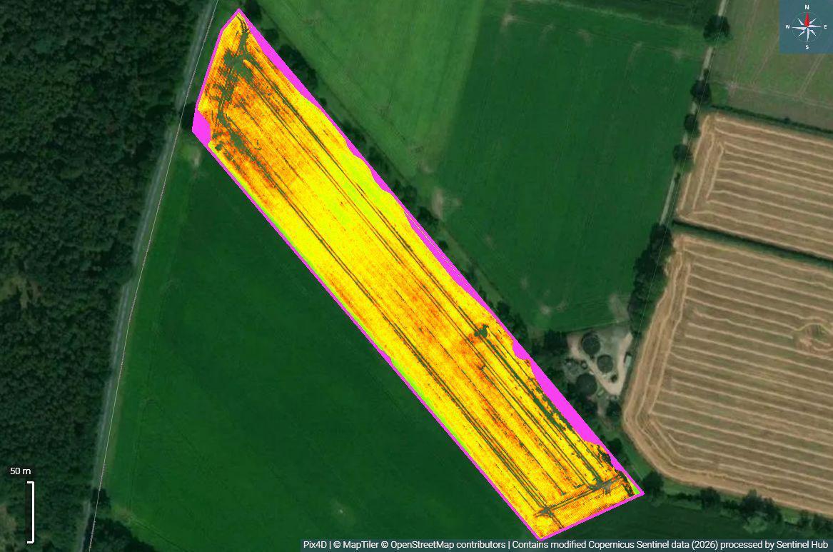
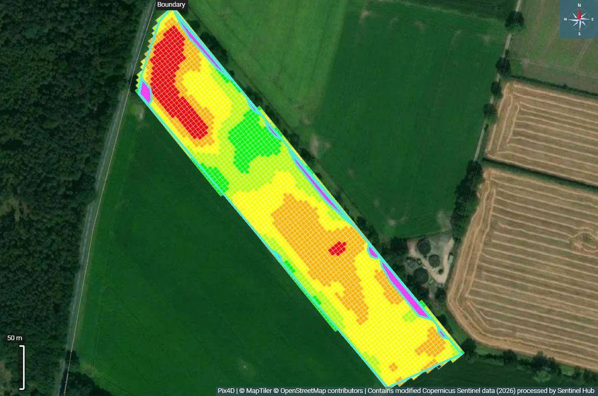
An orthomosaic shows you the field. NDVI shows you where vigour varies. Zoning turns that variation into five management blocks your agronomist can price a rate against — and that rate map is what we fly.
- Orthomosaic — a true-colour, georeferenced base map of the field and its boundary.
- NDVI — crop vigour variation, captured by multispectral drone and satellite data.
- Management zones — five blocks derived from the NDVI, ready for rate setting.
- VRA map — agronomist rates per zone, flown as a variable rate application.
Why drone operations
Fewer compromises in the part of the season that decides the yield.
Safe & insured
A safety-led approach with full CAA-compliant operations, documented flight planning and insurance in place.
Weather independent
Keep to your schedule when wet ground stops heavy machinery. No waiting for the field to carry a sprayer.
Low impact
Zero ground disturbance, no compaction or ruts, and a reduced carbon footprint against traditional methods.
Book a free Field Ingenuity assessment
Farm, woodland, solar site, nursery or sports turf — tell us the ground, the objective and the window you need to hit. We will tell you honestly whether drone application, mapping or both are the right answer, and what it would deliver.